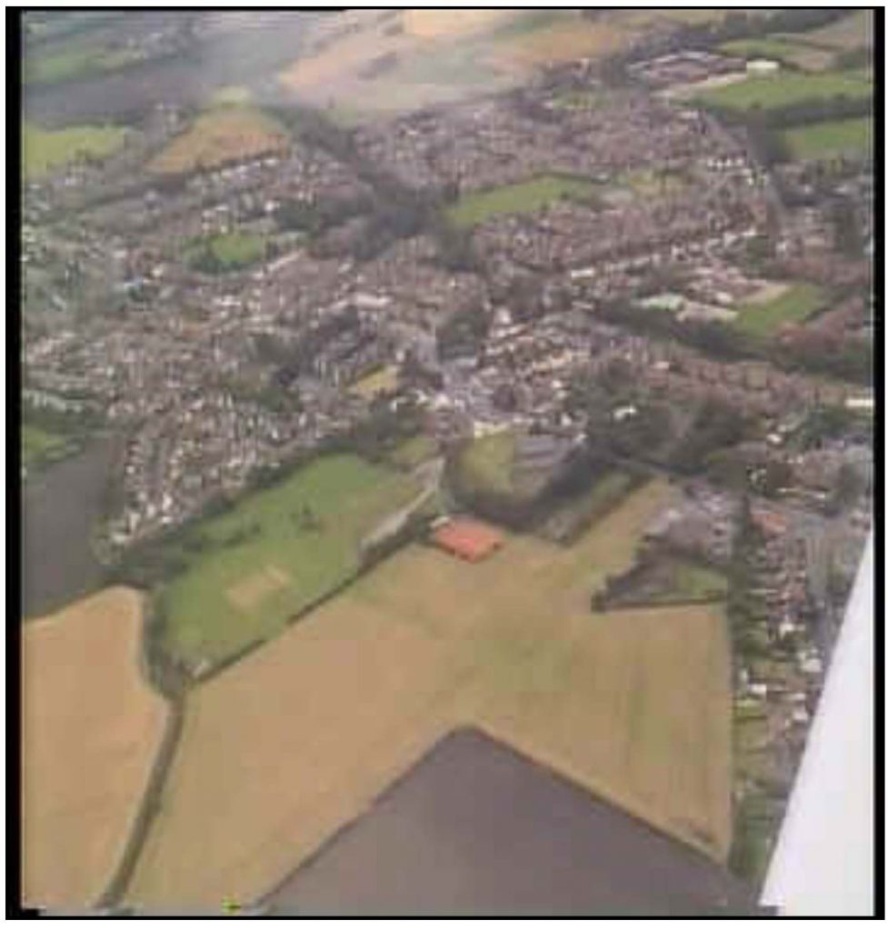
Situated midway between St. Helens and Ormskirk, Rainford was originally an Urban District in the County of Lancashire, but now forms part of the Metropolitan Borough of St. Helens. Its main access routes are via the A570 Rainford by-pass, the B5205 and B5203.
It is a semi-rural residential district of some 5,877 acres and is the northern most point in the borough of St. Helens. A slight ridge runs across the district rising to 300 feet above sea level near Crank – a bare exposed spot. The main village is found below this ridge fringed on its western edge by the Rainford Brook.
The geological formations consist mainly of coal measures, but from Rainford village westward there is a wide belt of Triassic sandstones. Varying thicknesses of boulder clay cover the basic rocks; to the north, east and west there are extensive areas of moss lands which are raised to produce a gentle undulating landscape.
With a population of about 8,000 in 2021, the village provides a much needed green belt area between the industry of St. Helens and the new towns of Kirkby and Skelmersdale.
Rainford’s Name
The leading authority on place names, Professor E. Ekwall, states that the first element of Rainford is an Old English personal name: Regna, a short form of names such as Regengar, Regnheah and Regnhere. Thus: Regna’s ford. It must be noted that it is not mentioned by name in the Domesday Survey and no record of its existence has been found before 1189.
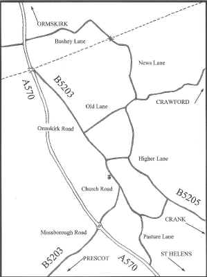
Entry into Rainford Village –
Taking a northerly route along the A570 and leaving it before reaching the B5203, the first lane upon entry is known as Pasture Lane, (as pictured below). This continues into Church Road and then Ormskirk Road before leaving the village to rejoin the A570 to continue further north.
Being a main route through the village it has many adjoining lanes and roads, some leading into housing estates whilst others lead to the more outlying areas such as Bushey Lane, Rainford Junction and the surrounding areas of Crawford, Crank, Kings Moss, Mossborough and Bickerstaffe.
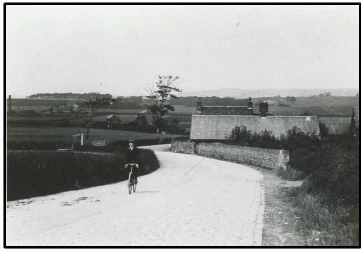
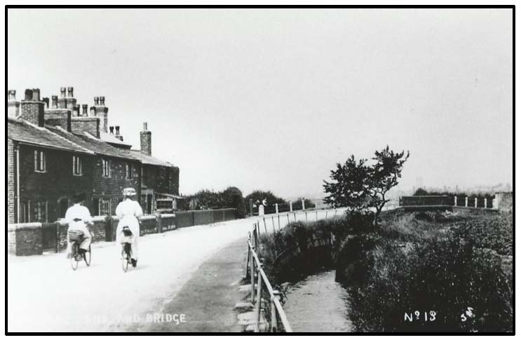
A JOURNEY THROUGH THE VILLAGE, circa 1907 – 1935
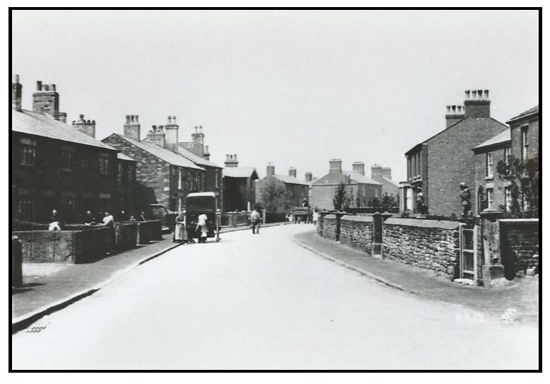
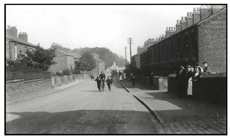
Looking down Mill Lane
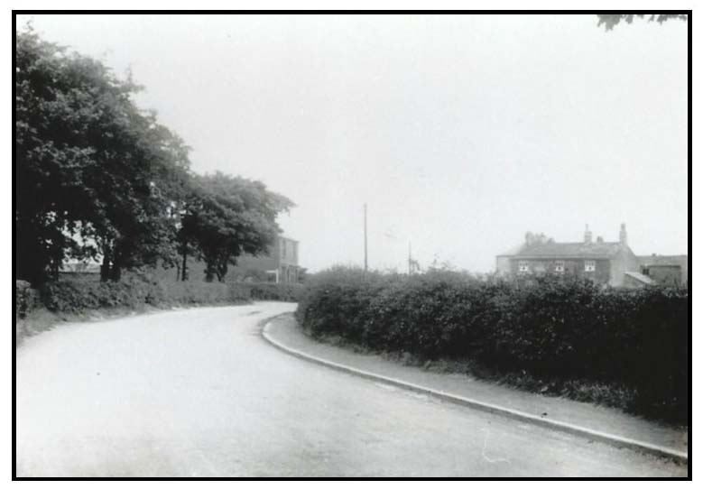
Pasture Lane Bridge
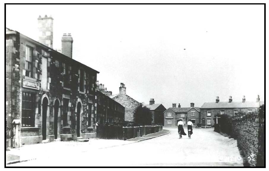
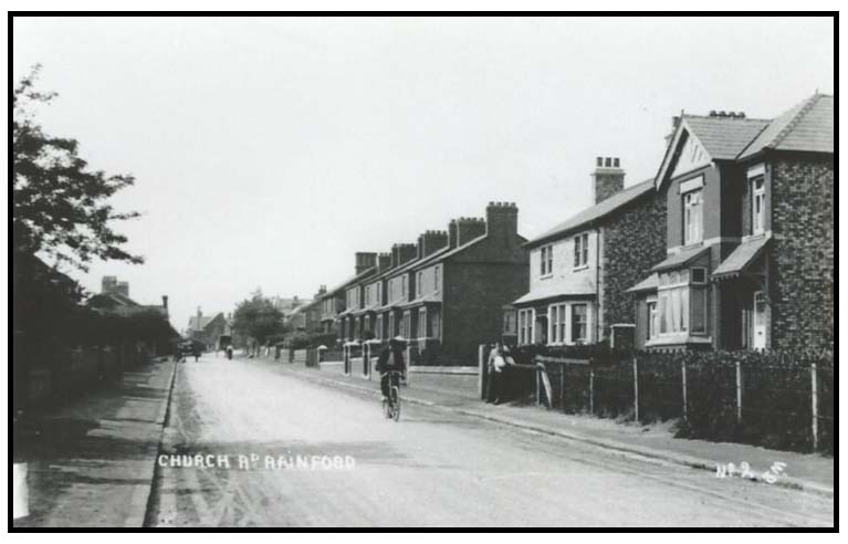
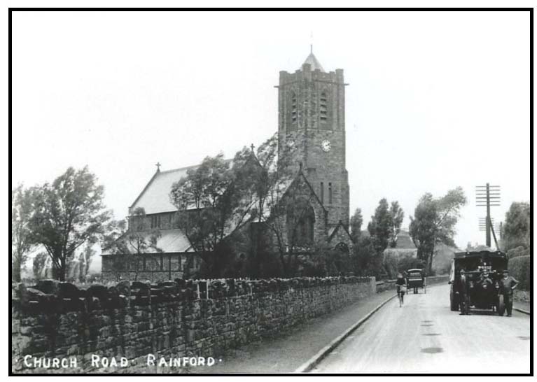
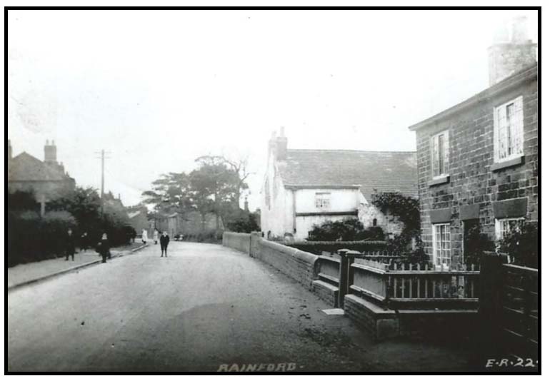
Church Road
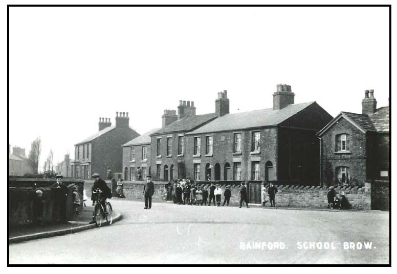
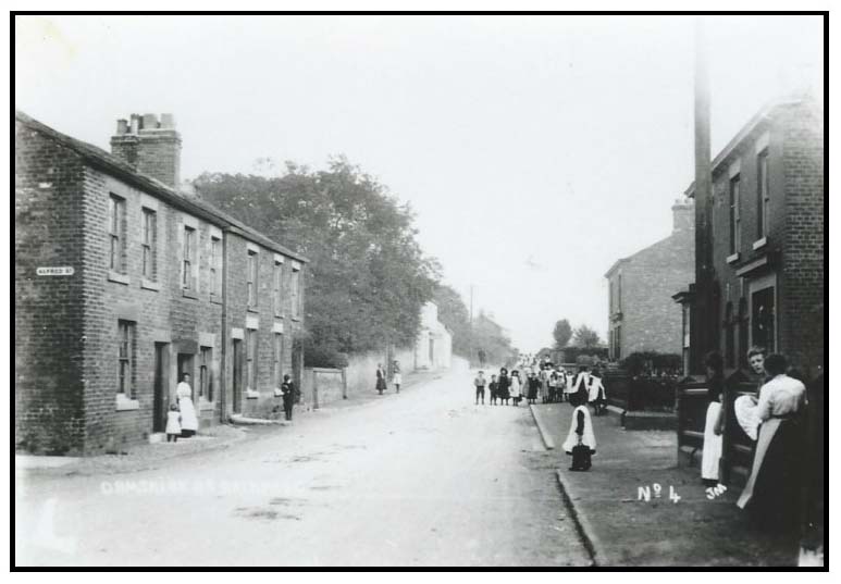
School Brow Corner
Church Road
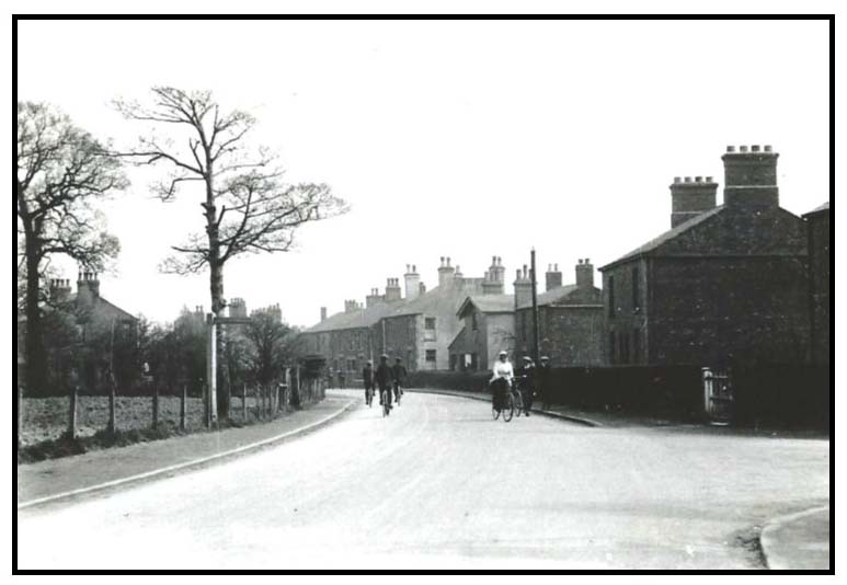
Looking Back along Church Road
Church Road
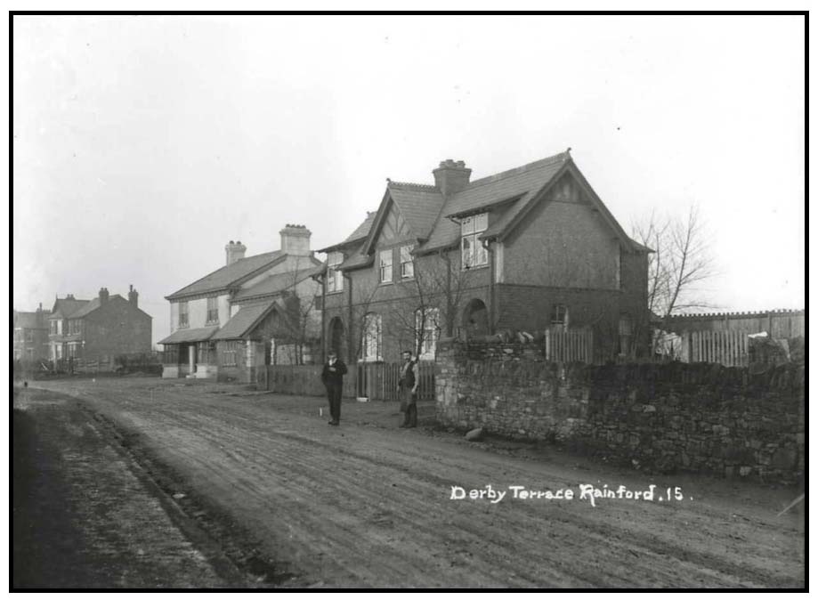
Derby Cottages
Looking towards the Church
Johnsons Brow
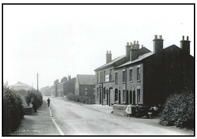
Ormskirk Road
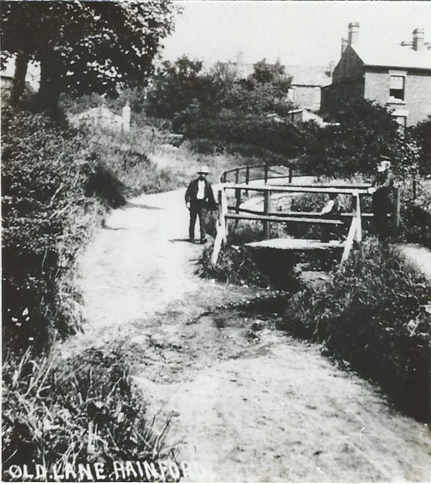
Old Dog at Old Lane
Bridge Inn, Ormskirk Road
Looking towards the Wheatsheaf Inn
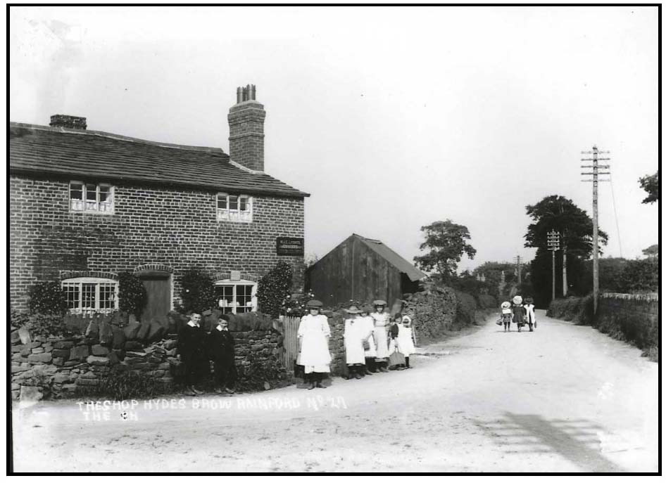
Hydes Brow Corner
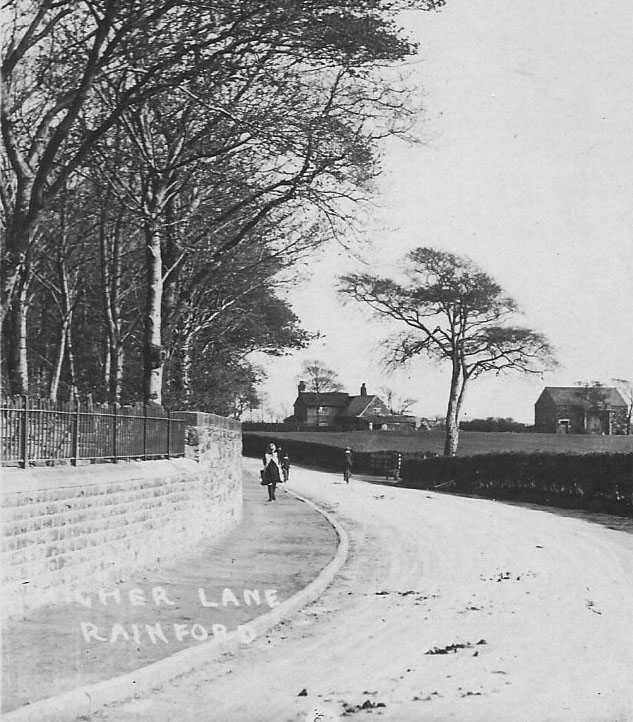
Junction of Old Lane and Higher Lane. Colliers Arms at the top righthand side
Looking back along Higher Lane towards Mackie’s Terrace in the distance
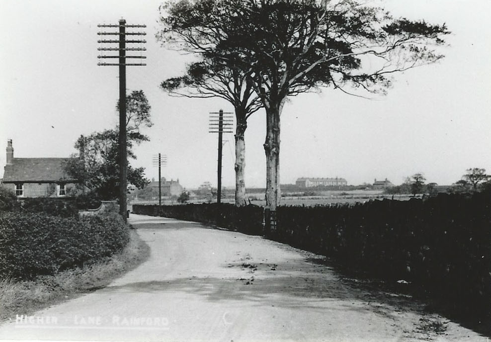
Higher Lane from Crosspit Lane looking towards Crank
ACKNOWLEDGEMENT
Grateful thanks are extended to all the people who have donated copies of their old photographs to be used to create books, exhibitions and this website. It is due to their generosity that the ‘History of Rainford’ is able to be preserved.